THE PARK
|
The park is part of the traditional home of the Vuntut Gwitchin, and provides a meeting place and travel link between the Gwich'in communities of Old Crow and Fort McPherson.
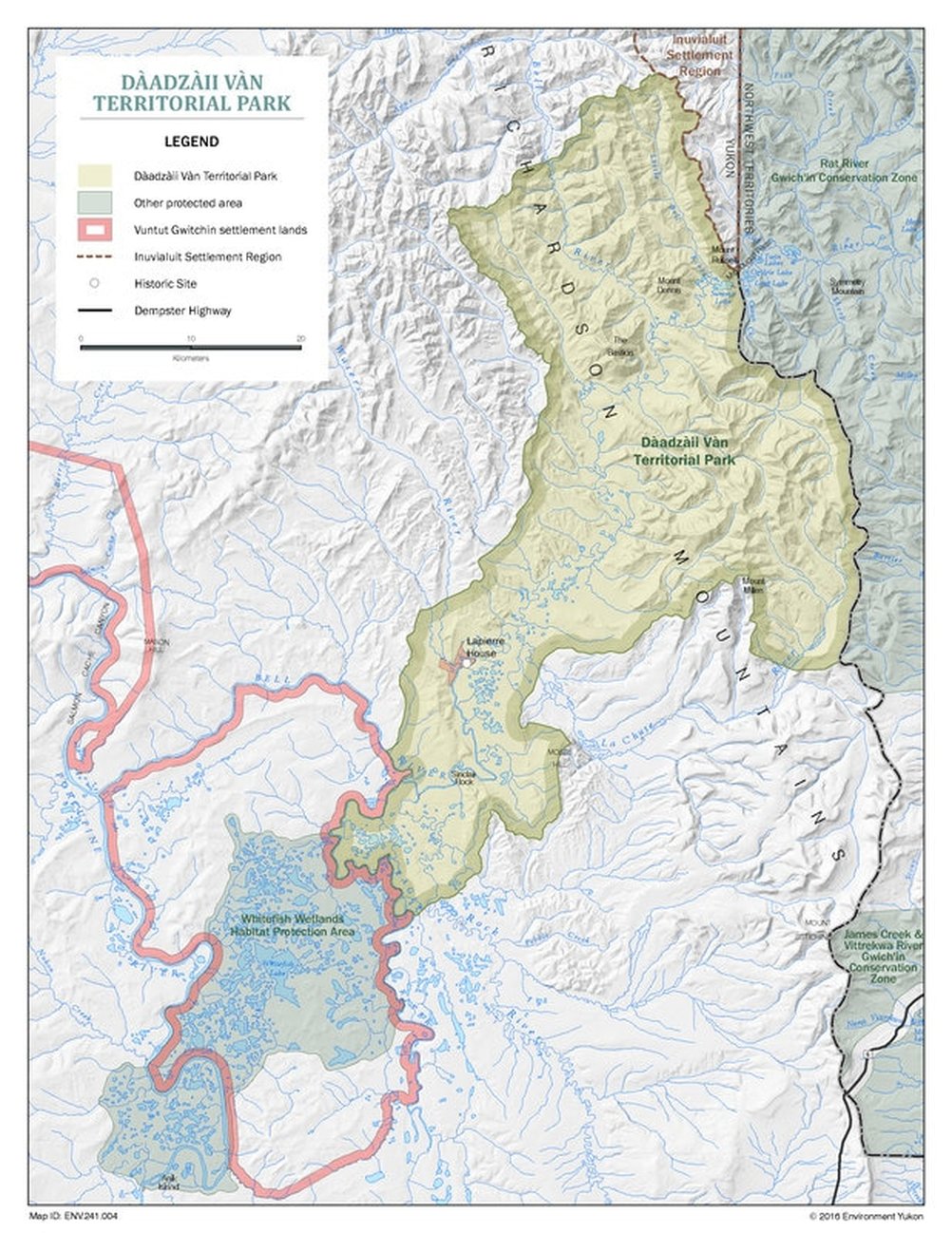
“Dàadzàii Vàn” is the traditional name of what is also referred to as Summit Lake. The literal translation is “Loon Lake”. The park encompasses 1,525 square kilometres and consists of two main natural features: a.) Summit Lake, located at McDougall Pass next to the Yukon-Northwest Territories border, and b.) Bell River, which bisects the park and eventually drains southwest into the Porcupine River, outside the park. Recreationally, Dàadzàii Vàn Territorial Park offers exceptional hiking opportunities. The most effective way to explore the park is by canoe, starting from Summit Lake and paddling the Little Bell River and Bell River. Currently, the most feasible means of accessing the park is by flying the 140 kilometer journey by float plane from Inuvik, Northwest Territories to Summit Lake. Paddlers can either exit again by float plane after reaching the Porcupine River, or they can paddle the extra leg of the Porcupine River to the community of Old Crow. |
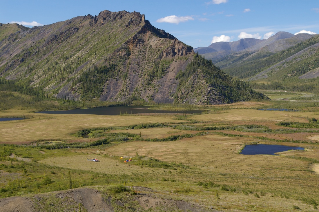
Base camp at Summit Lake, near McDougall Pass. YG Photo.
|